meteors floating in space.

Space Object Understanding and Reconnaissance
of Complex Events (SOURCE)

A U.S. Air Force Research Laboratory (AFRL) Space University Research Initiative (SURI)

About the Project

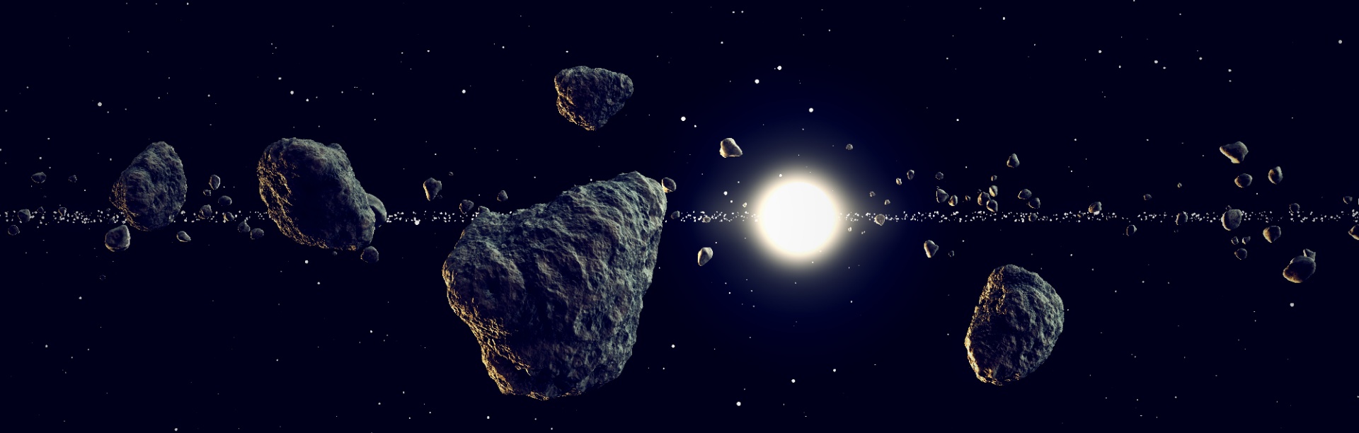
Outer space is increasingly filled with satellites, no-longer working satellites, launch rockets, debris from launching satellites and some materials of space like meteorites. Many are too small for the network of radar stations, telescopes and even other satellites to spot. That can lead to debris or micro-meteorites damaging satellites or even threatening the International Space Station.

Space domain awareness (SDA) describes the knowledge and real-time understanding of these objects. The United States must overcome many technological challenges to achieve SDA dominance in the geostationary (GEO) region. The space beyond Earth's orbit - known as XGEO or cislunar space - is even more difficult to navigate. Fortunately, University at Buffalo researchers are up for the challenge. 

A research team led by Moises Sudit and John Crassidis has received a $5 million grant to improve our ability to track and monitor this growing collection of space debris.

Satellites and objects orbiting earth with a network overlay.

The Space Object Understanding and Reconnaissance of Complex Events (SOURCE) project is part of a newly established Space University Research Initiative (SURI) program that was created to spur university research into new technologies for the Air Force and U.S. Space Force (USSF).

The grant will focus on developing cutting-edge techniques for sensors and measurement strategies, data fusion and autonomy, as well as improving algorithms to better predict the movements of objects in space.

Funding Source: A U.S. Air Force Research Laboratory (AFRL) Space University Research Initiative (SURI)
Award Amount: $5 Million
Related Departments:

AFRL Logo.

Project Focus Areas

The SOURCE team’s approach is to significantly expand the research envelope to include developing new theoretical approaches leading to useful algorithms, and investigating new sensor concepts with meaningful data and information fusion to provide a revolutionary SDA capability to overcome both XGEO challenges and future SDA challenges within the GEO belt. Project focus areas include:

  • An illustration of the sun, earth and a satellite from space. Each of the Lagrange points are labeled.
    Dynamic Modeling
    11/7/22

    Conduct studies to significantly improve dynamic modeling capabilities for the entire XGEO region while incorporating tools from astrodynamics and state-of-the-art machine learning techniques.

  • Satellite dishes and buildings sit on a grassy surface surrounded by trees. Clouds appear beyond the trees, and in the sky above there are three satellites. One is shining a wide light onto the other two, and a tower points a laser light at the middle satellite.
    Resident Space Object Tracking
    11/7/22

    Investigate new tracking approaches that significantly advance uncertainty quantification methods to enable accurate forecasting of space objects, and tracking maneuvering satellites.

  • Two images: Top is a satellite in space. Bottom is a drawing of that satellite with several components labeled. Rods connecting the main square body of the satellite to the panels are labeled "Massless/Black Connections" The top circular object of the satellite is labeled the "Antenna Dish," the panels are labeled "Solar Panels," and the main square body is labeled the "bus.".
    Resident Space Object Characterization
    11/7/22

    Investigate new characterization approaches that go beyond traditional light curves, which also involves developing algorithms to autonomously detect attitude maneuvers.

  • A satellite in space shines a wide ray of light onto planet Earth. Inside of the ray of light is a long, wide arrow pointing to the planet.
    Sensing
    11/7/22

    Investigate a spaced-based constellation involving passive sensors in the cislunar regime and provide new sensor tasking approaches to manage mission objectives.

  • An aerial view of what appears to be the moon's surface with several degree points, and variables on top. The degree points form a triangle, and three additional lines move (diagonally north and southwest, diagonally north and southeast, and straight from a bright dot. east.
    Autonomous Navigation
    11/7/22

    Investigate novel approaches to enhance the ability to autonomously navigate within the entire XGEO regime and provide robust autonomous navigation capabilities in off-nominal conditions.

  • Two females stand in front of two screens. One screen features a digital map of the world, and another featured several different colored waves. A group of four individuals (one female and three male) sit in front of computers facing the two females standing up. Their screens mimic the large screens at the front of the room.
    Decision-making and Situational Awarenss
    11/7/22

    Investigate new data fusion approaches to provide timely decision-making and actionable situational awareness, which includes novel approaches for behavior and intent estimation of unfriendly assets.

  • A hand moves virtual gears on a screen while a map of the world and several graphs sit in the background.
    Verification and Validation
    11/7/22

    This standard will be applied across the board, to numerical algorithms, dynamical modeling, RSO tracking, RSO characterization, autonomous navigation and decision-making.  Where possible these V&V activities will be done within the SOURCE team, notably using our unique access to real data.

Related News

Meet the Researchers

The project’s multidisciplinary team of investigators includes renowned researchers from the University at Buffalo, the Massachusetts Institute of Technology, Penn State University, Georgia Tech, and Purdue University. The team combines experts in cislunar astrodynamics, multi-modal sensing architectures, advanced data association algorithms, position and orientation estimation techniques, uncertainty quantification, RSO attribute estimation through characterization, dynamic sensing, catalog design, and autonomous decision-making element.

Principle Investigators:

Get Involved

Last Modified December 12, 2022